Cities are living organisms ,constantly expanding, reshaping, and adapting to the needs of their populations. Understanding how they grow, and predicting where that growth will occur, has always been a central challenge for urban planners. In the past, projections were based on census data, economic indicators, and historical trends. Today, the complexity of urban transformation demands a new approach. Machine learning is emerging as a powerful tool to forecast urban growth and optimize land use with unprecedented accuracy and agility.
Traditional forecasting models often struggle to capture the nonlinear relationships that shape urban expansion. Population growth, migration, housing prices, transportation networks, and environmental factors interact in intricate ways. Machine learning, by contrast, excels in finding hidden patterns within large and diverse datasets. By processing satellite imagery, geospatial data, socioeconomic indicators, and even real-time mobility information, AI models can identify where urbanization pressures are likely to intensify ,long before they become visible on the ground.
One of the key advantages of machine learning in this field is its predictive adaptability. Algorithms can learn from past and present data simultaneously, updating forecasts as new information becomes available. This allows planners to simulate multiple scenarios: How will the city grow if public transport improves? What happens if industrial activity shifts, or if housing demand rises near coastal areas? Each simulation generates insights that help governments anticipate land use conflicts, infrastructure needs, and environmental risks.
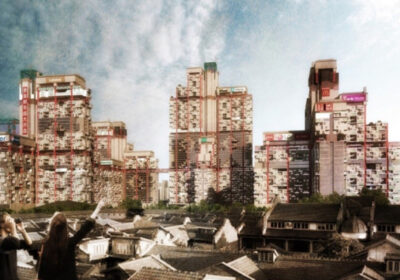
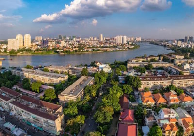
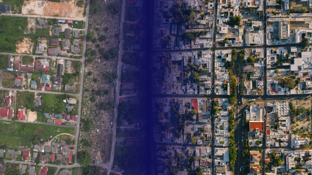
Deep learning models trained on satellite imagery are particularly effective for urban sprawl detection. They can distinguish between built-up, agricultural, and natural areas with remarkable precision, tracking changes over time. Combined with environmental and demographic data, these models allow cities to visualize how development affects ecosystems, water resources, and heat distribution. This capacity for spatial intelligence supports evidence-based planning and promotes sustainable growth rather than uncontrolled expansion.
Machine learning also contributes to land use optimization , finding the most efficient and equitable way to allocate urban space. By integrating variables such as proximity to transport, population density, land value, and ecological sensitivity, AI systems can propose land use configurations that minimize travel distances, reduce pollution, and preserve green areas. In effect, they enable cities to design themselves around data, balancing growth with livability and resilience.
A striking example comes from Singapore, where AI-based urban models are used to evaluate thousands of potential zoning configurations in minutes. These simulations help planners find the optimal balance between residential, commercial, and recreational spaces while maintaining environmental targets. Similarly, European and Latin American cities are using predictive algorithms to identify underused urban land that can be redeveloped for affordable housing or green infrastructure.
However, the use of machine learning in urban planning is not without challenges. Data quality remains a critical issue: many cities lack comprehensive geospatial databases or consistent historical records. Incomplete or biased data can lead to flawed predictions, especially in rapidly changing regions. To mitigate this, urban institutions must invest in open, interoperable data ecosystems, ensuring that information from different departments ,transport, housing, environment, can be integrated seamlessly into AI models.
Ethical and social considerations also matter. AI-driven land use optimization should never be purely technical; it must reflect human priorities such as social inclusion, heritage preservation, and equitable access to resources. An algorithm may suggest an “optimal” solution from an efficiency standpoint, but planners must interpret whether it is socially acceptable or environmentally just. This calls for a human–machine collaboration in which data informs judgment, but people define purpose.
Transparency and explainability are equally essential. Cities must communicate clearly how AI-driven forecasts are made and how they influence policy decisions. Public participation should remain a cornerstone of urban development, even as predictive models become more sophisticated.
Trust, as always, is the foundation of intelligent governance.
Looking ahead, the integration of machine learning with digital twins will push this field even further. Virtual replicas of cities will allow continuous testing and optimization of land use strategies, aligning urban growth with sustainability and resilience goals. In such environments, planners will not only predict the city’s future ,they will be able to shape it in real time.
Machine learning does not replace human vision; it amplifies it. By turning data into foresight, it enables cities to evolve consciously , balancing expansion with preservation, density with livability, and progress with sustainability.
In the era of intelligent urbanism, the question is no longer how cities grow, but how wisely they choose to do so.